From Perouges to Bugey

The ridge circuit by Ordonnaz (full route)

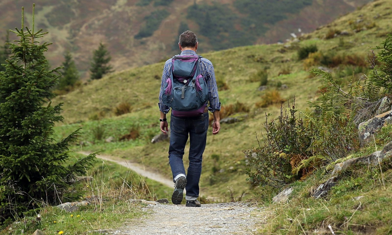
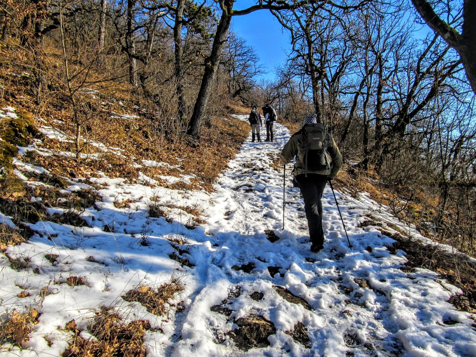
The emblematic route of the Monts du Bugey, with a passage through the highest point of Mollard-de-Don. The ridges offer exceptional panoramas of the Alps and sometimes, if you are lucky, Mont-Blanc! But beware, demanding route.

Distance : 18 km
Duration : 6h
Level : Difficult
Elevation : 360 D +
Walking
The ridge circuit by Ordonnaz (full route)
Distance : 18 km
Duration : 6h
Level : Difficult
Elevation : 360 D +
Walking
Departure: Ordonnaz
Loop
Earth, Not suitable for pushchairs
Pet Friendly
Very steep descent between Mollard de Don and Grand Perthuis. Descent by GR59 under the very eroded Croix du Rocher.
Download the circuit: GPX Roadmap

From the charming village of Innimond, an uphill hiking trail leads to the highest point of Mount Pela. The rest of the pedestrian route follows the ridges between the Col du Perthuis and Ordonnaz, along the Tantanet. A clear passage, with a view of Bugey, gradually revealing the Alps in the distance. The chef's surprise comes on the descent to the Col du Petit Perthuis. Facing the paragliding decor, Mont-Blanc takes shape for the lucky ones, on beautiful clear days but not too hot.

An orientation table teaches curious hikers more about the surrounding peaks. Following the old sports route, the hike ends at the Innimond cross, offering a 360°C panorama of the Bugey mountains, its champion the Grand Colombier in the distance, and a glimpse of the Ambléon lake (not authorized bathing). The final descent is to be followed with caution until the return to the village.

Your itinerary

1

Ordonnaz - Mollard de Don (1h40)

Departing from Ordonnaz head south and follow the red and white markings of the GR59. Passage at the foot of an old ski lift (chalet). The slope steepens and through meadows and woods you reach the summit of Mollard-de-Don (1217 m).
2

Mollard de Don - Croix de la Roche (1h50)

By a very steep descent, reach the Grand Perthuis then go up on the crest of the Cha and follow it. Panoramic views of the Alps, the Belley basin and the Dauphiné. At the end of the ridge we go down to an orientation table. Go straight to continue on the Croix de la Roche (La Cra). Warning: very eroded descent. Prefer the descent by road from the orientation table.
3

Innimond - Plaine Chanaux (1h10)

Leave the GR59 and cross the village towards the North. Passage at the foot of a cross on the right (500 m). Take the 2nd path on the left, it leads to Les Chanaux, a vast area of ​​meadows.
4

Channels - Ordonnaz (1h)

Ignore the paths marked in blue twice on the left which lead to Lompnas and find at the end of the meadows a small path which climbs rapidly to a ridge line. At the top, turn left then descend to a path that leads back to the village.

Learn more

Advice from the Office

As you pass through the Petit Perthuis pass, it is possible that Mont-Blanc will appear on the horizon. To put the odds on your side, the best days are sunny but not too hot. Otherwise it remains the safe bet for sunsets in all seasons.

In winter, snow is often present. We think of snowshoes!

Tips for photographers

As you pass through the Petit Perthuis pass, it is possible that Mont-Blanc will appear on the horizon. To put the odds on your side, the best days are sunny but not too hot. Otherwise it remains the safe bet for sunsets in all seasons.

History, culture and heritage

The villages of Ordonnaz and Innimond both have a very old church (Romanesque period) and their remarkable Sully tree, planted around 1601 to symbolize the attachment of Bugey to France (Treaty of Lyon)

In case of rain

Do not panic ! Here are all our sheltered activities.

On the way back

To bring back a souvenir or something to treat yourself, stock up on local products from Pérouges in Bugey.

Nearby

Activities

Send

Accommodation

Send

Restaurants

Send

You may also like...

Fours banaux

Communal ovens

Village d’Ordonnaz

Village of Ordonnaz

Mini musée de la Fruitière d’Ordonnaz

Ordonnaz cheese dairy mini museum

Randonnée du calvaire de Portes

Portes calvary hike

Eglise Saint-Antoine et son Sully

Saint-Antoine church and its Sully

Spéléologie aventure – Taupe canyon

Adventure caving – Taupe canyon

Randonnée pédestre : Les Charmilles

Hiking: Les Charmilles

Village de Lompnas

Village of Lompnas

Balade avec les ânes : les « balades de Rosalie et Cie » :

Stroll with donkeys: the “walks of Rosalie and Cie”:

Bar – Restaurant – Boulangerie « Chez Robert »

Bar – Restaurant – Bakery “Chez Robert”

L’atelier herbaliste, nature et santé

The herbalist, nature and health workshop

Maison Guiffray

Guiffray House

La ferme Chassard

The Chassard Farm

Maison Froquet

House Froquet

Cave C’messieurs

Cave C'gentlemen

La Fantaisie

Fantasy

Maison Bonnard

Bonnard House