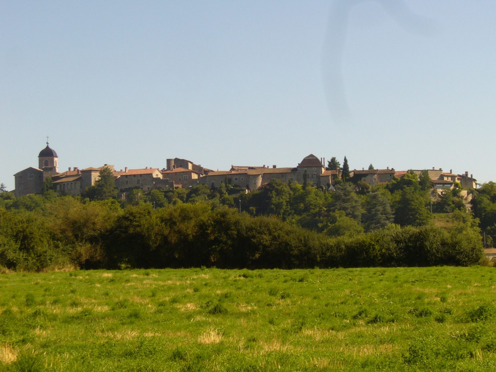
From Perouges to Bugey

GR® de Pays – Beaujolais-Bugey via the Dombes

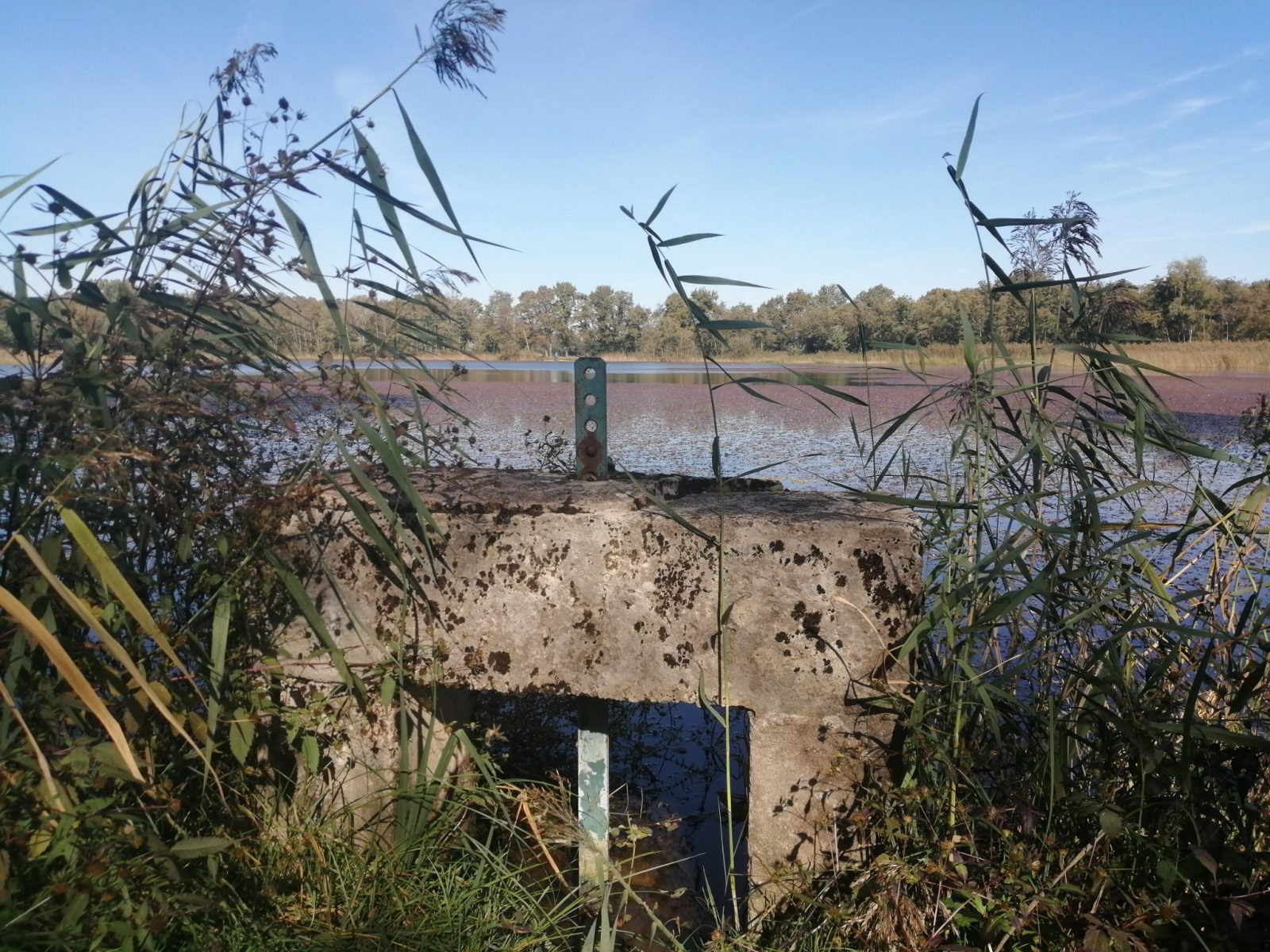
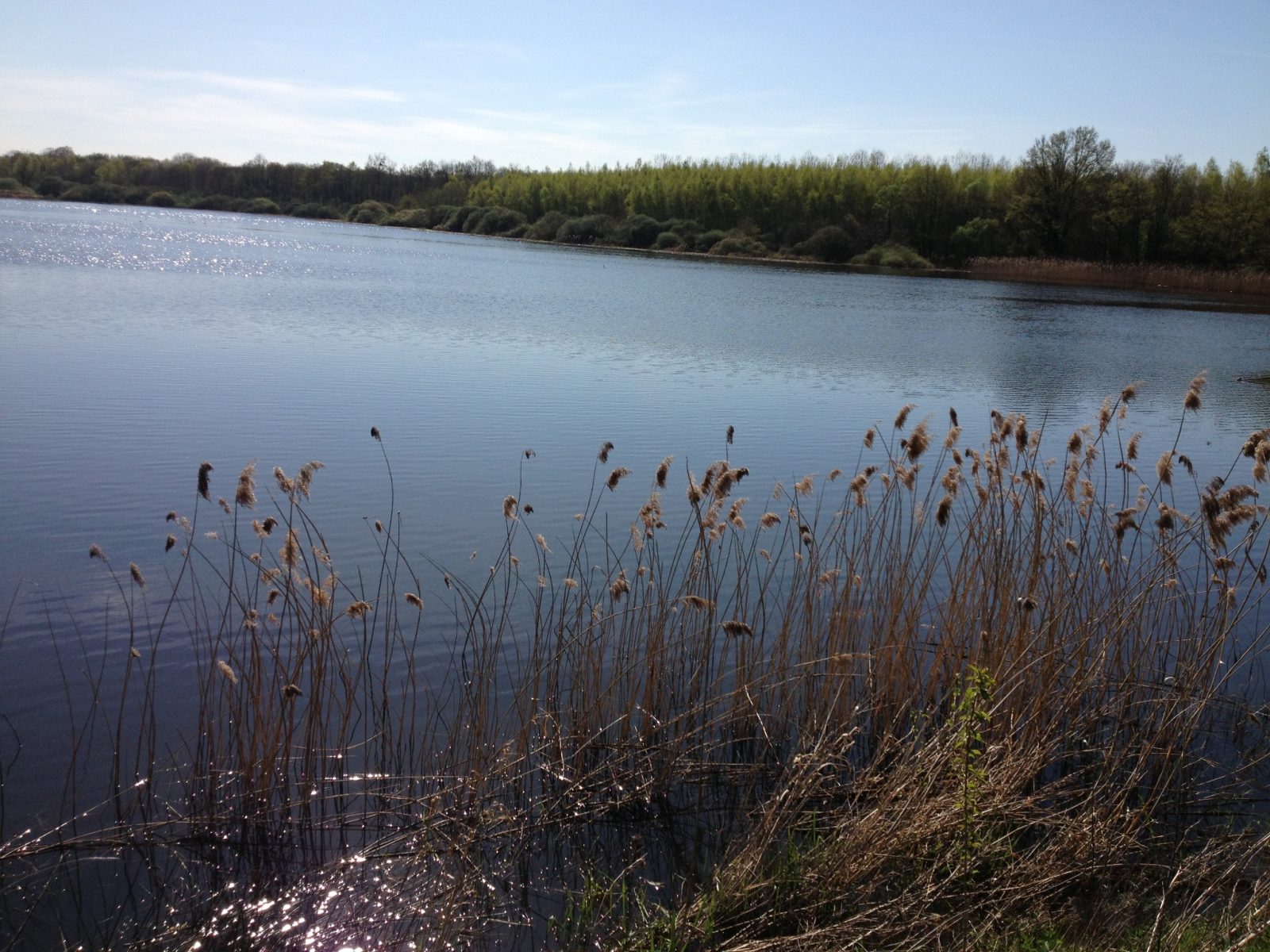
The GR® de Pays Beaujolais-Bugey via Dombes connects the slopes of Lyonnais to the south of Bugey. It crosses the vineyards of Beaujolais, takes the towpath of the Saône before crossing the Dombes des étangs.

Distance : 72.9 km
Duration : 6h
Level : Very difficult
Elevation : 765 D +
Walking
GR® de Pays – Beaujolais-Bugey via the Dombes
Distance : 72.9 km
Duration : 6h
Level : Very difficult
Elevation : 765 D +
Walking
Departure: Saint-Bernard
Not suitable for strollers
Pet Friendly
Download the circuit: GPX PNG PNG Roadmap

The GR® de Pays Beaujolais-Bugey via the Dombes leaves from the GR®76 near the village of Sainte-Paule (Rhône) and crosses several lines of hills before joining the Saône. He crosses it to enter Ain between Anse and St-Bernard. From where, it follows the towpath to Parcieux. It then crosses the Dombes plateau and its ponds. It crosses the Ain at the Chazey bridge and after skirting the Rhône, it climbs to join the GR®59 in the Bugey mountain.

Learn more

In case of rain

Do not panic ! Here are all our sheltered activities.

On the way back

To bring back a souvenir or something to treat yourself, stock up on local products from Pérouges in Bugey.

Nearby

What to do

Send

Accommodation

Send

Restaurants

Send