From Perouges to Bugey
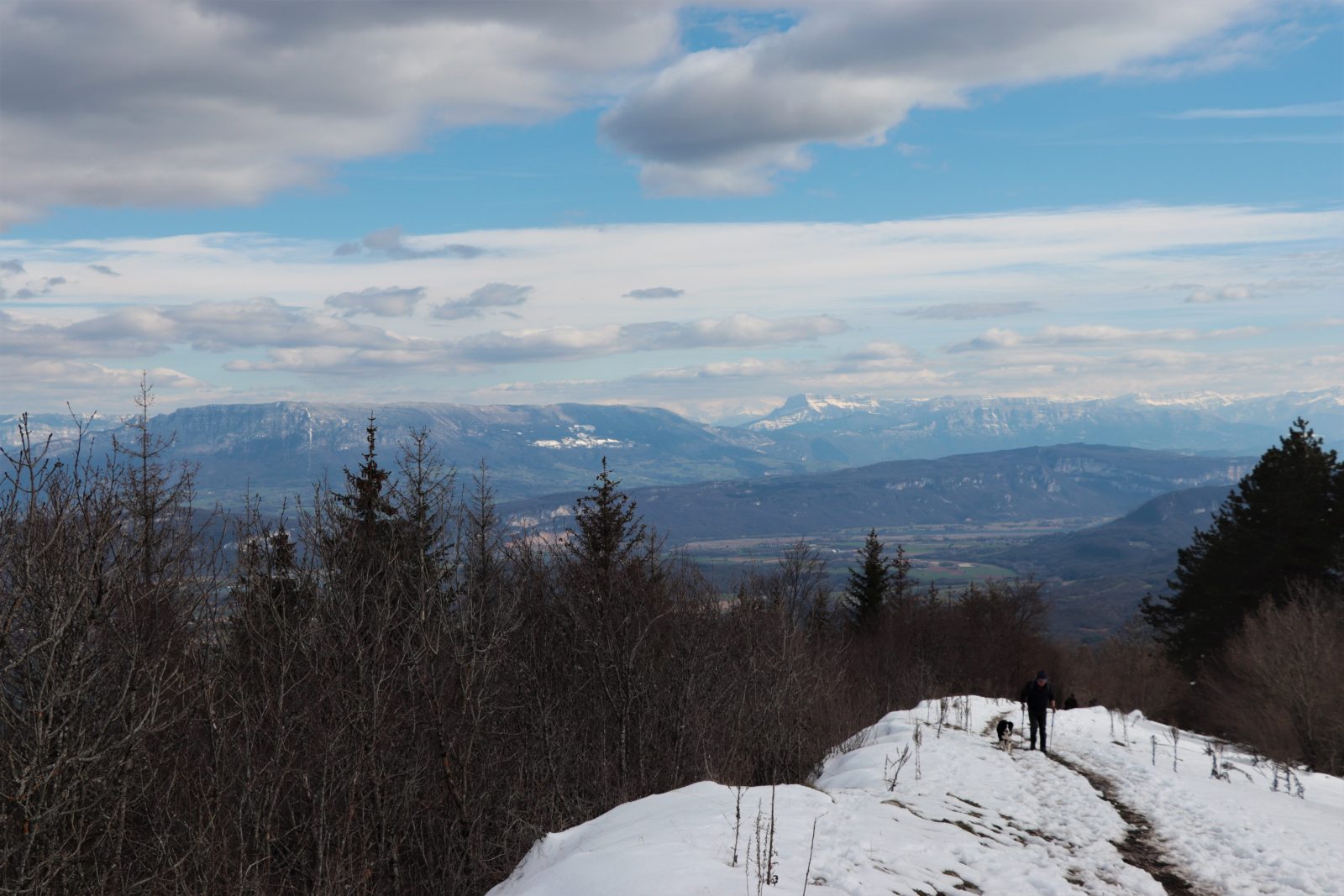
Hiking the ridges on snowshoes
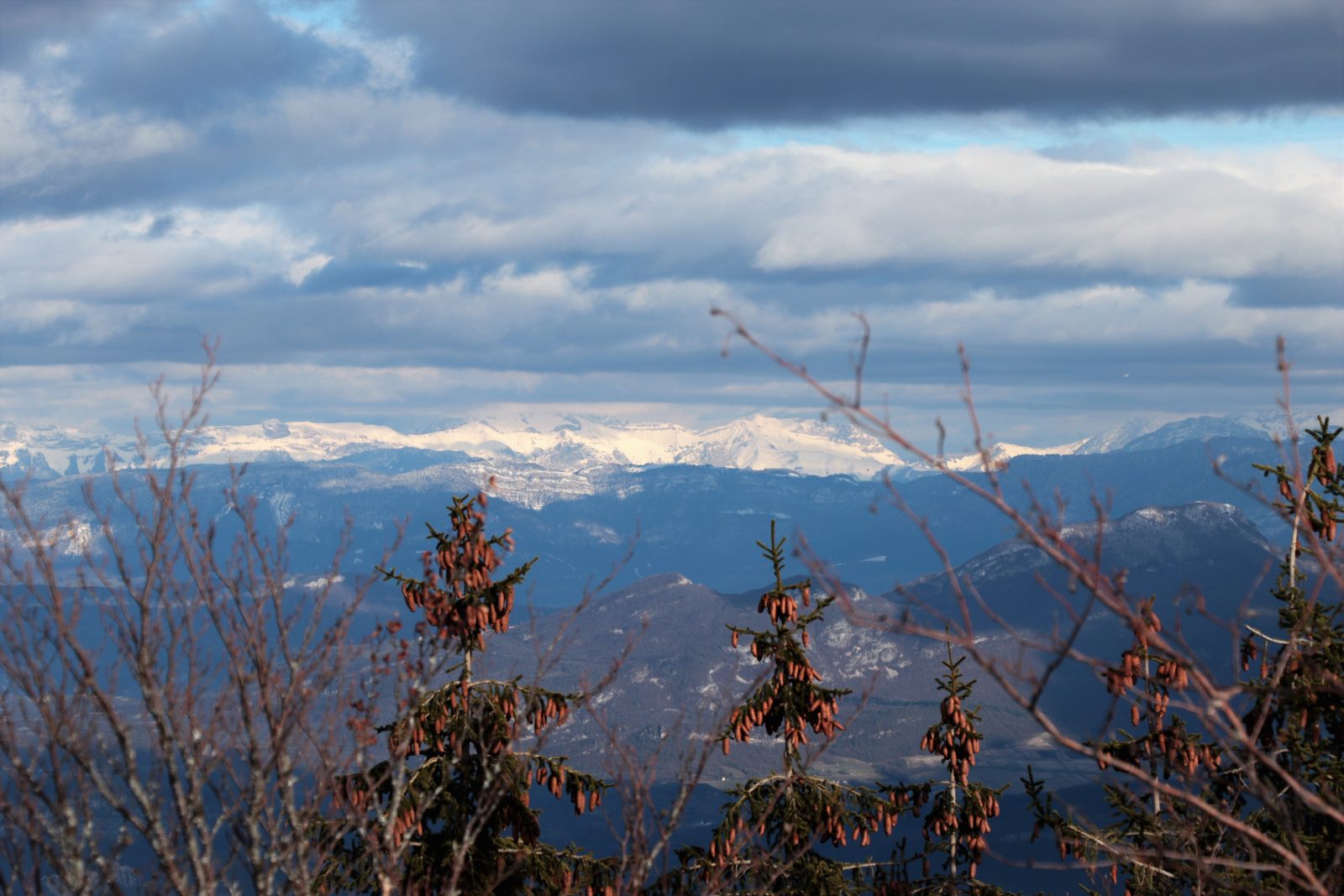
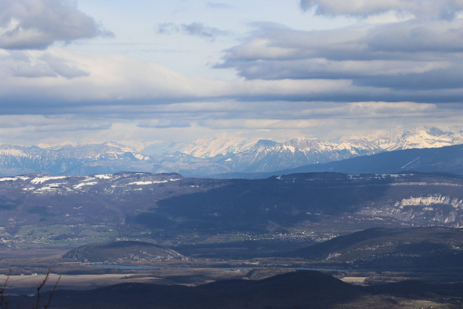
Essential route of Bugey with its breathtaking view of Mont-Blanc. And it's even better in winter, with snowshoes on your feet. When the snow is there, put on your boots and put on your walking sticks for a hike in winter mode.